I like old maps, and have a number framed hanging around the house, including this map of the United States, dated 1834. If you count them, you will find 24 states. If you look, for example, at the State of Illinois, you will see that the capital is Vandalia. The capital of Georgia is Milledgeville. Detroit is capital of Michigan, and Tuscaloosa the capital of Alabama.
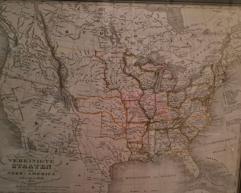
But this isn’t the oldest map of the country that I have. The oldest, which I have just taken to be framed, is from 1784.
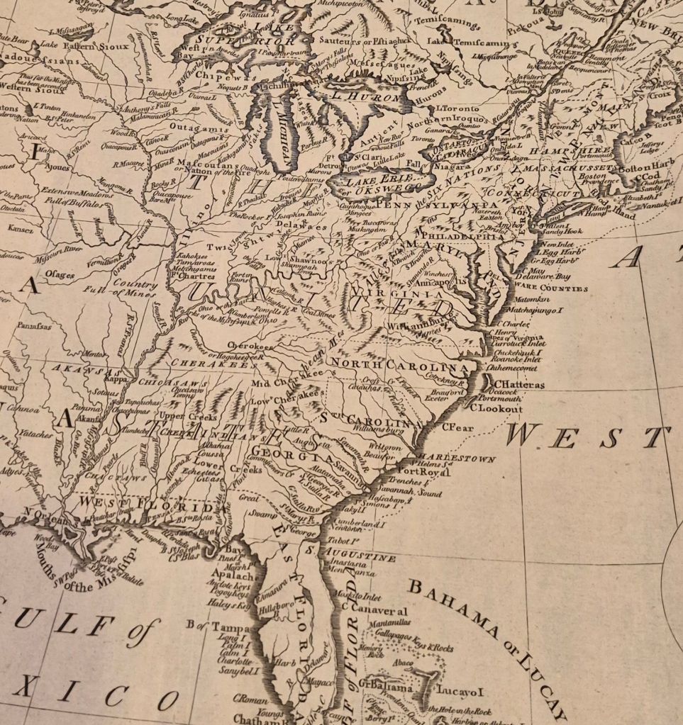
Here there are only 13 states, and their western boundaries are a bit uncertain. (The photo is of a portion of the map, not the full map.) It is interesting to me that St. Louis is not on the map, although every history dates its founding in 1764. Nor is Ste. Genevieve, 75 miles or so down river from St. Louis, founded in 1735. In 1785, this area was controlled by Spain, and it looked like the cartographer might not have been welcome. The entire Mississippi looks to be the domain of various Indian tribes, and you can see that the land just to the northwest of where St. Louis should be is simply marked “full of buffalos”.
Between 1784 and 1834 is only 50 years (like 1976 and 2026), but look at the changes.
I have some other maps from the late 1700s, including this 1794 map of Jamaica.
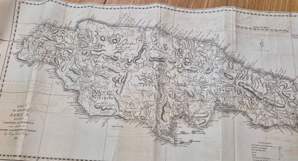
Jamaica then had about 25,000 Whites and about 250,000 Black slaves (and a few thousand free Blacks). There were about 700,000 enslaved people in the US then, close to 20% of the US population. If you look at, say, South Carolina in 1790, over 40% of its population was enslaved.
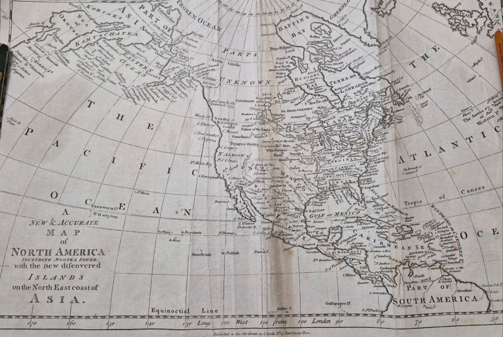
Here is another map of North America that lives here in one of my closets. I haven’t researched it yet. Not sure why. I assume it is older than the 1784 map, and shows colonies of Britain, pre-independence. It is probably worth something and shouldn’t be rolled up. I should know more about it than I do.
That is all for today.

